The GPS is a space-based satellite navigation system managed by the United States that provides location and time information in all weather conditions, anywhere on or near the Earth where there is an unobstructed line of sight to four or more GPS satellites. The system provides critical capabilities to military, civil and commercial users around the world. It is freely accessible to anyone with a GPS receiver.
It's time we move away from the American Global Positioning System (GPS) and make way for our own desi navigation system — the Indian Regional Navigation Satellite System or IRNSS on our mobile phones.
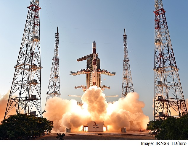
Today, Isro will hold a major meeting in Bangalore involving location and navigation device manufacturers, mobile phone manufacturers and global information system (GIS) technology developers presenting to them the advantages of using the IRNSS technology over the current GPS technology. During the two-day meet, Isro will demonstrate how the seven IRNSS constellation satellites once operational by July next year, will be significantly more accurate than the American GPS system. The meeting will also be attended by senior scientists from Space Application Centre (SAC) Ahmedabad.
Unlike American GPS, Isro is recommending a small additional hardware in handheld devices that can receive S-Band signals from IRNSS satellites and inclusion of a code in the phone software to receive L-Band signals. "Both these L and S band signals received from seven satellite constellation of the IRNSS are being calculated by a special embedded software which reduces the errors caused by atmospheric disturbances significantly. This in turn gives a superior quality location accuracy than the American GPS system," says a senior Isro official. All the seven satellites of Indian Regional Navigation Satellite System (IRNSS) are expected to be in orbit by March 2016
ISRO also aims to make signals available not only to India and surrounding countries but also to the entire globe.


Comments
Post a Comment